Cartographic collection: illuminated engravings from the 18th century
It is not an exaggeration to affirm that geopolitical maps translate the mental maps of a certain society, of a certain historical moment. Cartography condenses an image of the world that goes far beyond mere topographic studies.
If we look at the cartography of the enlightened period, we will observe that the rise of scholarship in all fields of knowledge and the emergence of scientific institutions in the modern sense of the term will greatly affect the making of maps. In the first place, because the French kings (in collaboration with the Spanish crown and other European powers) will promote expeditions to the new world in order to reconfigure the maps from astronomical observations and physical measurements.
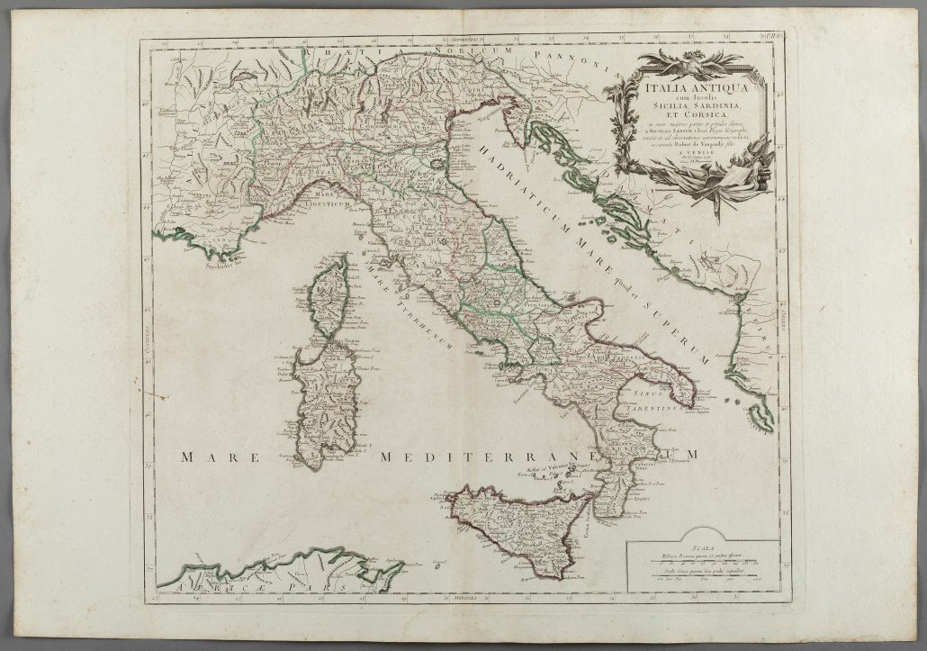
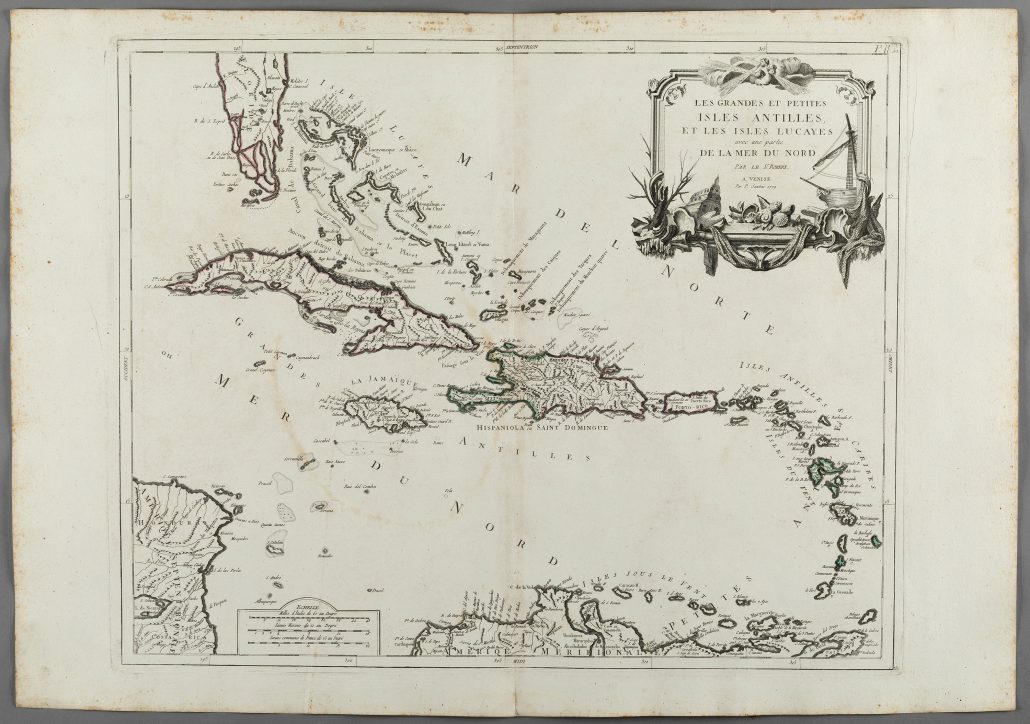
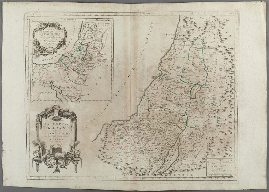
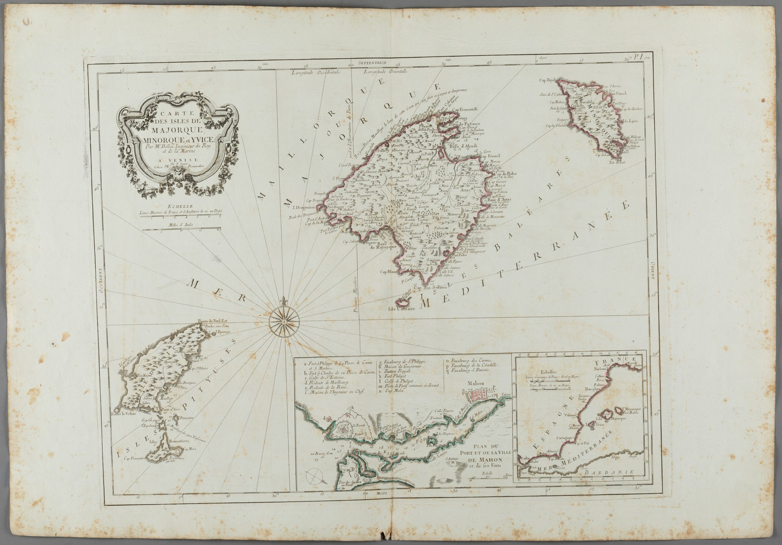
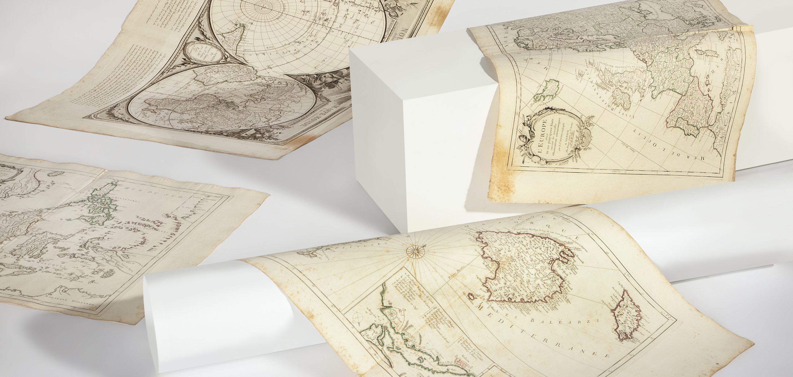
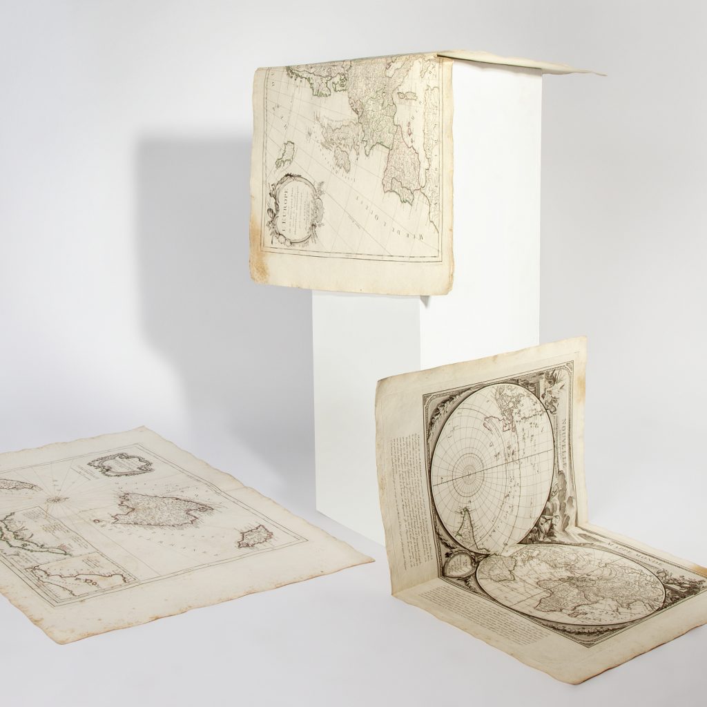
Setdart Subastas has assembled an important collection of maps from this flourishing period, the 18th century, both for science in general and for cartographic science in particular. Specifically, a large part of the cartographic documents tendered in our current auction belong to the Universal Atlas of 1757 (“Atlas Universel, dressé sur les meilleurescartes modernes”). It consisted of an ambitious project that would end up involving cartographers and engravers from all over Europe. It was an initiative of Gilles Robert de Vaugondy and his son Didier, geographers of Louis XV, who had the most recognized globe manufacturing workshop in France.
The illuminated engravings grouped in this collection show the scope of this singular project: a very precise map of the then still non-conflictive Holy Land (“divided into its twelve Tribes”, lot 35251586); a splendid map of the East Indies (to highlight the allegorical figures, the putti and galloping horses that adorn the cartouches, num. 35251568), the Map of Patagonia and the Strait of Magellan (illustrated with caravels plying the seas); the Bering Strait …
Apart from the maps that resulted from the expeditions to the colonies of the New World and the East Indies, this same Atlas of French origin and Venetian edition (the Santini brothers acquired the plates of the Vaugondy), also included numerous maps of Europe: of the Islands British (Britannicae Insulae, 35251582), of the German Empire (under William I, 35251629), French Flanders …
In our cartographic collection, together with the aforementioned maps from the Atlas Universel, we also include engravings belonging to the famous Encyclopaedia of Diderot and d’Alembert. The edition of the Encyclopédieraisonné des sciences, des arts et des métiers It was the fruit of the same enlightened spirit that we commented on cartographies. The prints tendered in Setdart correspond to the Architecture section, in which it was intended to disseminate the accumulated knowledge in architecture so far, through plans, elevations, typologies, gadgets and latest technical advances (see lots 35221796 and 35221794).
Old maps are one of the most complete documentary typologies, due to their dual nature, cartographic and historical. The rarity of some of the editions, coupled with the longevity of many of the copies, make the possession and enjoyment of ancient cartography a booming value. The meticulous and ambitious work of engravers, illustrators and cartographers turn these pieces into authentic works of art.